Don't you just love geeking out over maps? Quite interesting I find it. So as a total nerd I will compile some interesting links, apps, gizmo majics, you name it. if you find some interesting stuf, let me know, we can chat about this.

Cool overlays
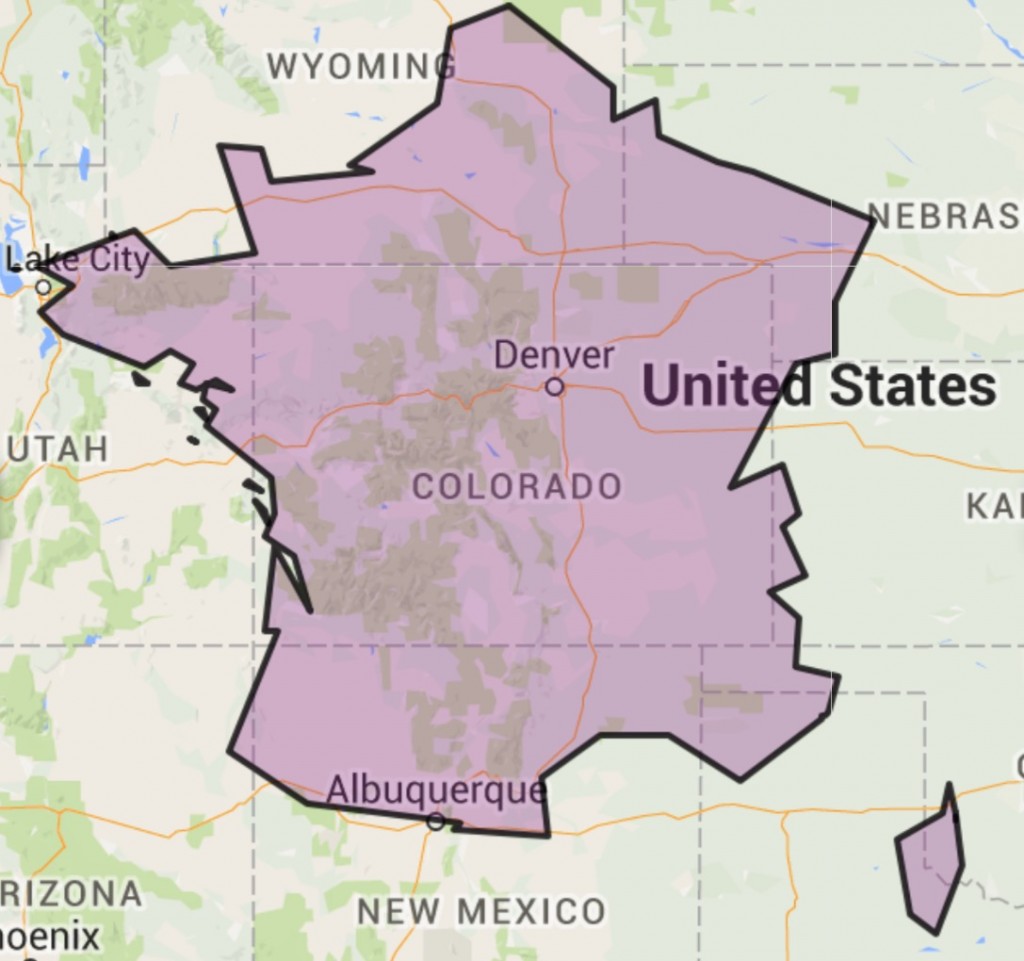
Allright map geeks, educators and know-it-alls. You will love this website which creates a map overlay where one can compare how a province, state or country will compare in scale superimposed on another map. The website generates a hyperlink of your image, which you can then can capture with a screenshot. The website is called mapoverlaps.com.
WHAT'S BIGGER?
Along the lines of the overlay gizmo mazjic, I love the "what's bigger website" Here two panes next to each other display and compare topography which automatically scale and resize to each others respective zoom. You can then independently pan in the different panes. Tres cool. Danno


OSMAP - GALILEOFFLINE
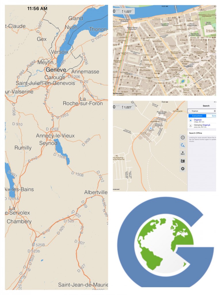
The most useful app to date has been Galileo. It displays maps which are tiles downloaded from the Open Street Maps project. Open source, they are free and elective to download appriopriate to where one is traveling to. The zoom in as well as out are impressive, from regional views ommitting a lot of clutter, showing main travel routes, all the way to streetname, building name or number and store names.
LATITUDES AND ATTITUDES
Another favorite is the latitude and longtitude from MAPfrappe.com. They also have an outline compare plug, similar to what's bigger. But in this particular functionality you can drop your home latitudes and on a second window you can pan to a seperate part of the hemisphere and see what your equivalent latitude has. Jimmy Buffet had this song called latitudes and attitudes. Well here you go. In the screenshot I compared the southern and northern borders of Colorado as well as Aspen at 39degrees and followed their comparison to Europe. You can also switch between map and sattelite view. Since the mapping is powered by google, the zoom is pretty amazing

Topo View
A tutorial by USGS scientist and topoView developer Chris Garrity demonstrating how to use topoView version 2.1. TopoView let's you access and download maps free of charge from the USGS's Historical Topographic Map Collection, published between 1884 and 2006.
Continental drift
Omdat dit nu gewoon wat geloofwaardiger dan het gezwam van Baudet is.
